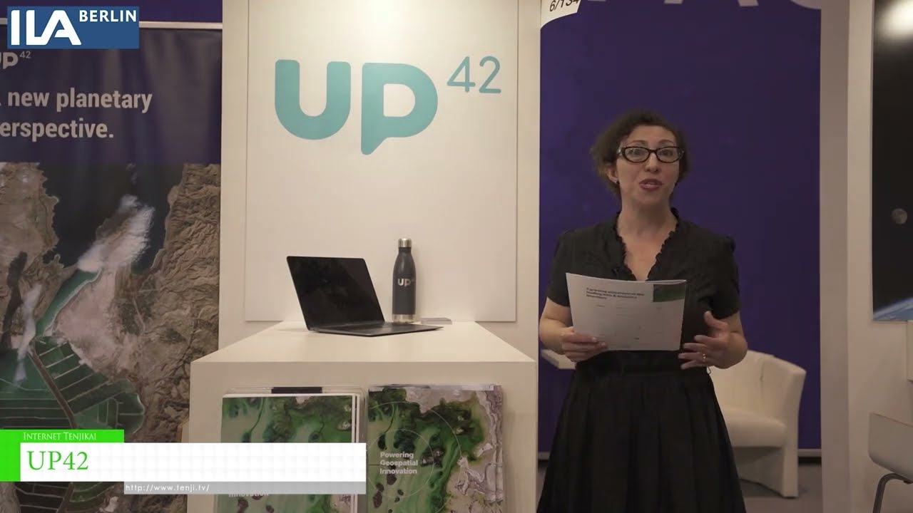
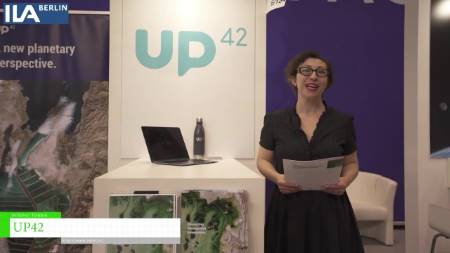
UP42 exhibited at ILA 2022 – Berlin Air Show.
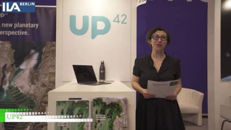
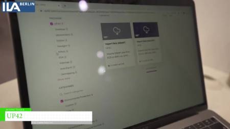
Welcome to UP42. We are a geospatial development platform and marketplace designed specifically for
developers and decision makers who want to make a difference with their projects, Being able to
developers and decision makers who want to make a difference with their projects, Being able to
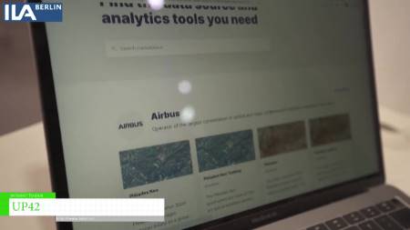
access diversity of data through the platform is essential,you can combine different data
from different data sources whether that’s aerial imagery or satellite imagery.Earth observation is
changing the way we are looking and solving real world challenges.We rely on satellite
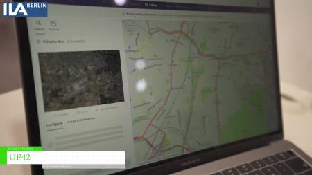
data for a variety of projects whether it’s agriculture for crop monitoring or infrastructure
monitoring.Having this accessibility wherever you are and through the cloud infrastructure
is making possible for developers and solution developers across the globe to implement solution
faster and at scale. UP42 it’s been around for three years .We are a startup based in Berlin
and we are on a mission to democratize access to data to geospatial data to make a difference
for the benefit of all.You can access the app 42 platform through our website www.up42.com.